


Wadi El Rayan in Fayoum


The location of the Wadi El Rayan Reserve, specifically in the southwestern part of Fayoum Governorate, and its area is 1759 square km, which is:
Southwest of Fayoum, about 40 km from the city of Fayoum and 150 km from Cairo, and Wadi El Rayan consists of the upper lake.
Upper Lakes edit
It has an area of 65 km and is located in Wadi Al-Masakeet. It rises by 20 meters above the lower lake. The salinity rate is about 1.5 grams/litre, and its maximum depth is 22 meters. The water level is 5 meters below sea level, and its water is semi-saline.
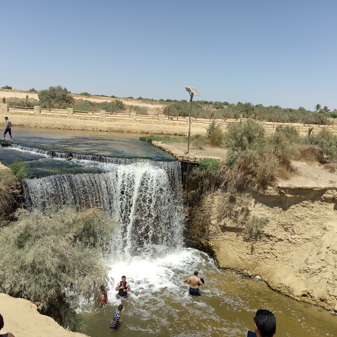
And the lower lake, the waterfalls area that connects the two lakes, and the Oyoun Al Rayyan area, south of the lower lake.
It is located in Wadi El-Rayan, with an area of about 100 km. It is a large lake, and the degree of salinity is higher than the upper lakes, and it is about 2.5 grams/litre due to the evaporation process. Its maximum depth is 34 meters, and the water level is 25 meters.
And the Jabal al-Rayyan area, which is the area surrounding the springs, and the Al-Madwara mountain area, located near the lower lake. It has dunes and natural springs, types of different plants and animals, such as the white deer, the Egyptian gazelle, the Fennec fox, the sand fox, the wolf and some species of falcons.
The reason for calling it Wadi al-Rayan is attributed to a king called Al-Rayyan ibn al-Walid, who lived in the area with his army for a period of time irrigating water from natural springs in the area.
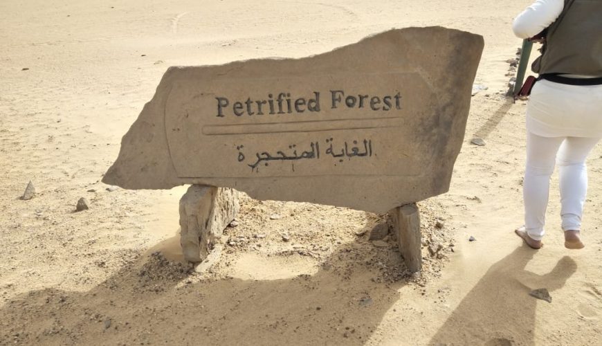
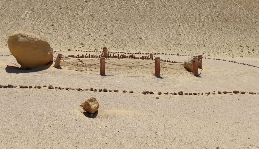
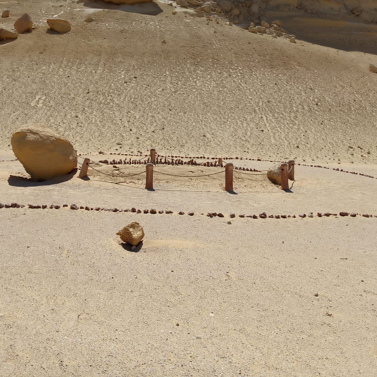
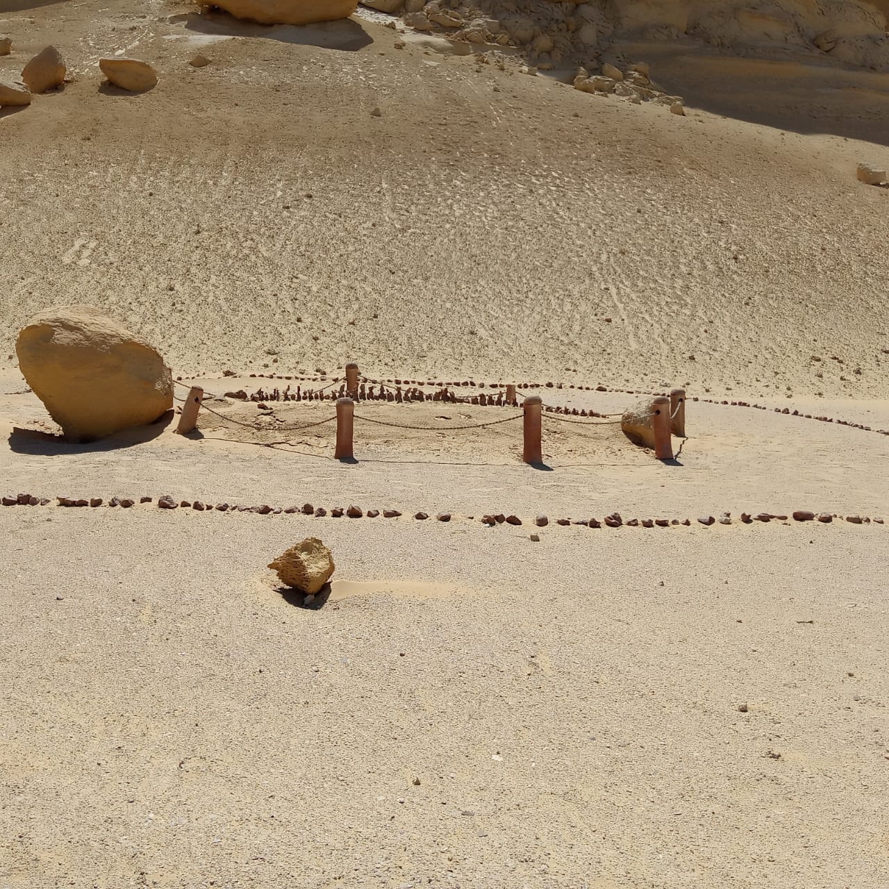
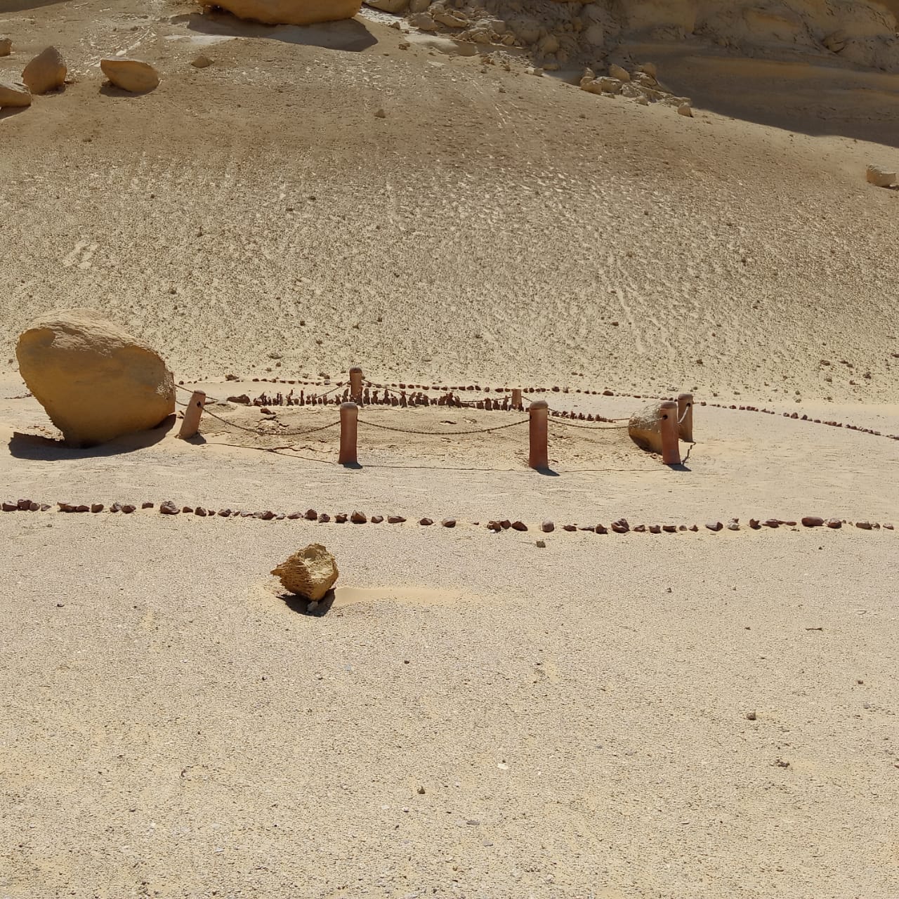
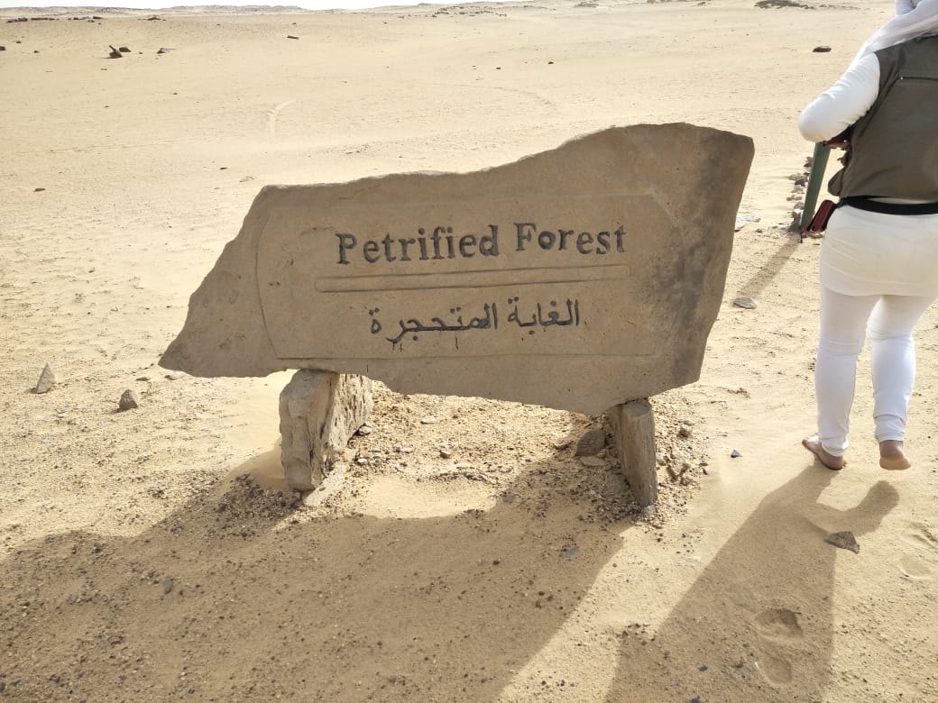
Wadi Al-Hitan is named after the presence of traces of thousands of years ago. The discovered places indicate the presence of whale skeletons. Hundreds of fossilized skeletons of some primary whale species and shark teeth were discovered. A complete whale skeleton is displayed in the Egyptian Geological Museum. The area is an open museum in picturesque nature. Whale Valley is characterized by the presence of Many selected websites like
Rocks with the remains of marine animal skeletons.
The fossilized backbone of a marine mammal.
The skeleton of a marine mammal, including a backbone.
But the first benefit was due to Muhammad Ali Pasha when he ordered his chief engineer, Linan de Belfon, to find a way to store the floodwater.
Oyoun Al Rayyan is called by this name because there are some natural sulfur eyes in it. The area consists of long, dense and moving dunes, and there are four natural sulfur springs. It is considered a recreational and therapeutic tourist area. mountains
They are called Rayan’s beaks to take the mountain’s shape of the beak, and those beaks surround the northern and southern regions.
In 1882, the American engineer Frederick Top Hoyt House presented a reciprocal project, the first of its kind, to divert the Nile water into the Rayan depression to protect the Nile from high floods and benefit from the stored water. His first report was in 1890 AD, the second in 1894 AD and the third in 1895 AD. The thinking was heading to connect the Nile River to make a huge cruiser in Wadi al-Rayan by digging a canal near the Haj facility southwest of Ihnasia, about 7 km to Wadi al-Rayan. Work began to dig a large area of the canal In 1943 AD; however, the project was not completed for fear of water leaking into the Fayoum depression, believing that there were faults and fractures under the rocks. In 1950 AD, the geologist Sir Cirque de Fox presented a report on the geology of the area, but thinking about the High Dam cancelled the thought of using Wadi El Rayan as water storage, which encouraged Muhammad Ali Pasha and a group of foreign scholars on studying the idea of establishing the depression and using it as water storage in time of need is the level of that valley as the valley is lower than the surface of the Mediterranean Sea By 46 meters, or about a meter, from the level of Lake Qarun, which enabled the drainage of southern agricultural lands in Fayoum to Wadi El Rayan.
In 1973, a canal was completed from Fayoum to Al-Rayyan, heading from the northeast to the southwest, carrying the excess water, and a two-section canal. The Rayyan depression is 8 km long and 3 meters in diameter and ends at the northeastern edge of Al Rayyan. This project resulted in the formation of two lakes, the first with an area of 35,000 feddans and the second for 25,000 feddans, including a waterfall, which was formed as a result of the height difference between them and as a result of the continuation of drainage, the area of these water bodies or water lakes is increasing. This project resulted in the transformation of Fayoum for the first time from internal drainage to external drainage. Also, it resulted in the transformation of Wadi El Rayan from a dry depression below sea level to internal artificial lakes. However, its surface remained below sea level, and it comes after the artificial lake that the Egyptian man built at the dam High, that is, Lake Nasser, which changed the features of life in the entire region, and to another meeting, God willing, to complete Fayoum as a historic area full of events.
·
Comment (0)